| Burial Sites in Orford, New Hampshire |
|---|
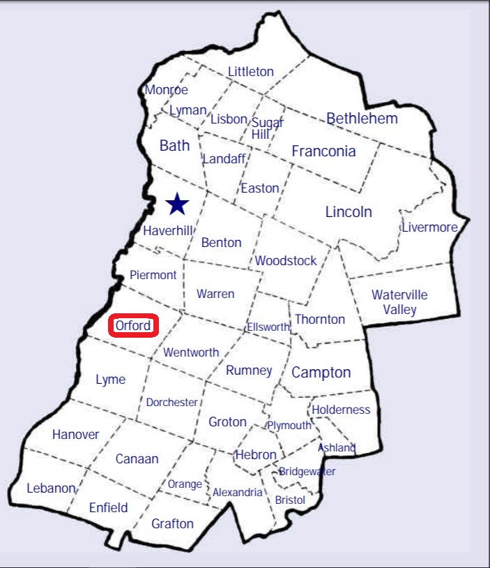
| To see a map of all sites click here. |
| O03-001 Dame Hill, Dame Hill Road, USGS Piermont Quadrangle, E73425, N486408, Zone 18 (43° 53' 40"N, 72° 5' 1"W), Source: Notes from Orford 1978 MAP |
| O03-002 East Orford, Upper Baker Pond Road, USGS Piermont Quadrangle, E74057, N486598, Zone 18 (43° 54' 35"N, 72° 0' 15"W), Source: Notes from Orford 1978 MAP |
| O03-004 Graveyard, private land, USGS Piermont Quadrangle, E73942, N486562, Zone 18 (43° 54' 24"N, 72° 1' 7"W), Fieldstone markers on Thomson farm on Class 6 Grimes Hill Road. Source: Town of Orford 1994 MAP |
| ------ Village Cemetery, See: West Cemetery, O03-003 |
| O03-003 West Cemetery, Route 10, USGS Fairlee Quadrangle, E73035, N486546, Zone 18 (43° 54' 29"N, 72° 7' 53"W), Source: Notes from Orford 1978 MAP |
Listings Copyright © 1998-2024 New Hampshire Old Graveyard Association.
All rights reserved.
Send mail to webmaster@nhoga.org with questions or comments about this web site.