| Burial Sites in Piermont, New Hampshire |
|---|
| Note: The sites with "red background" do not look correct on the Google maps corresponding to the lat/long coordinates for that cemetery. The problem may be either incorrect lat/long or changed street names. Please send any corrections to NHOGA Webmaster with corrected lat/longs in degrees/minutes/seconds or degrees + fractional degrees to 6 places. |
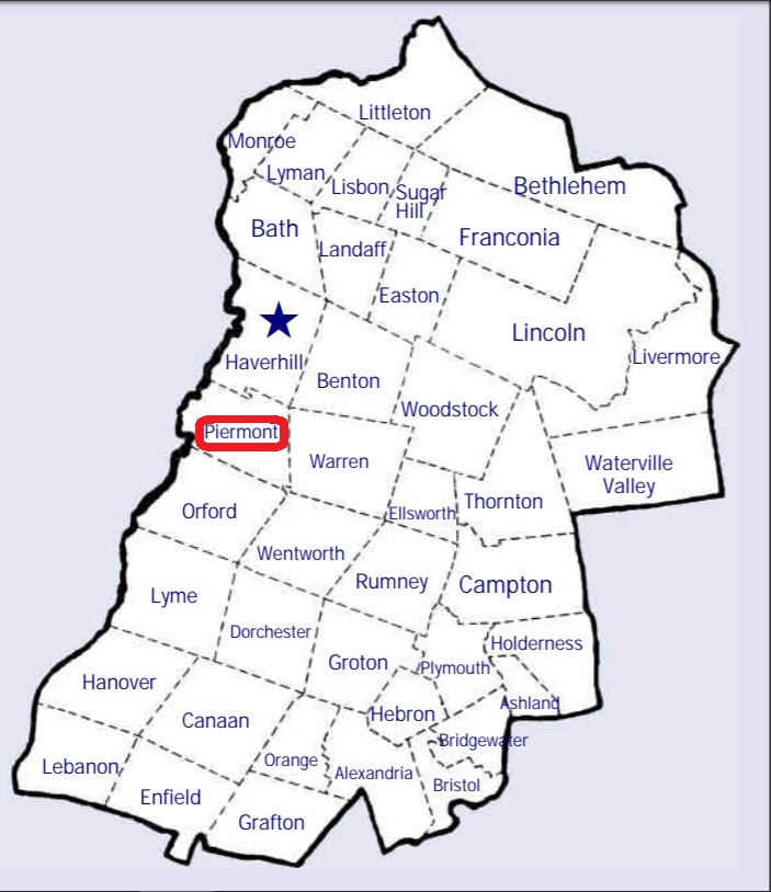
| To see a map of all sites click here. |
| P04-002 Cedar Grove, Route 10, USGS Piermont Quadrangle, E73413, N487268, Zone 18 (43° 58' 19"N, 72° 4' 52"W), Source: Helen Underhill 1980 MAP |
| P04-004 Clay Hollow, Clay Hollow Road, USGS Piermont Quadrangle, E73803, N487146, Zone 18 (43° 57' 35"N, 72° 1' 60"W), Source: Helen Underhill 1980 MAP |
| P04-006 East Piermont, East Road (below Lake Armington), USGS Warren Quadrangle, E26177, N486982, Zone 19 (43° 56' 42"N, 71° 58' 7"W), Source: Helen Underhill 1980 MAP |
| P04-007 Graveyard, Near Wentworth town line, woods, USGS Warren Quadrangle, E26133, N486714, Zone 19 (43° 55' 14"N, 71° 58' 22"W), Source: Helen Underhill 1980 MAP |
| P04-008 Manning, Black Hill Road, USGS Newbury Quadrangle, E73514, N487755, Zone 18 (44° 0' 55"N, 72° 3' 59"W), Source: Helen Underhill 1980 MAP |
| P04-001 River Road Cemetery, River Road, USGS Newbury Quadrangle, E73234, N487597, Zone 18 (44° 0' 7"N, 72° 6' 8"W), Source: Helen Underhill 1980 MAP |
| P04-005 Rodiman, off Route 25C, USGS Newbury Quadrangle, E73906, N487655, Zone 18 (44° 0' 18"N, 72° 1' 5"W), Source: Helen Underhill 1980 MAP |
| P04-003 South Lawn, Route 10, USGS Piermont Quadrangle, E73415, N487210, Zone 18 (43° 58' 0"N, 72° 4' 52"W), Source: Helen Underhill 1980 MAP |
| ------ Village Cemetery, See: Cedar Grove, P04-002 |
Listings Copyright © 1998-2024 New Hampshire Old Graveyard Association.
All rights reserved.
Send mail to webmaster@nhoga.org with questions or comments about this web site.