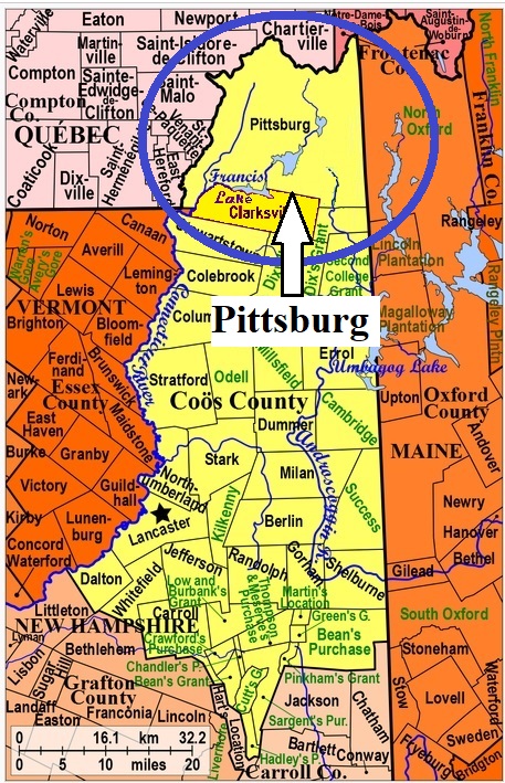
| Burial Sites in Pittsburg, New Hampshire |
|---|
| Note: The sites with "red background" do not look correct on the Google maps corresponding to the lat/long coordinates for that cemetery. The problem may be either incorrect lat/long or changed street names. Please send any corrections to NHOGA Webmaster with corrected lat/longs in degrees/minutes/seconds or degrees + fractional degrees to 6 places. |
| To see a map of all sites click here. |
| P06-006 Day, Spooner Road, USGS Cowen Hill Quadrangle, E31365, N499460, Zone 19 (45° 4' 56"N, 71° 22' 4"W), Source: Nancy Dodge 1982 MAP |
| P06-004 French, Route 3, USGS Pittsburg Quadrangle, E31192, N499118, Zone 19 (45° 3' 4"N, 71° 23' 18"W), Source: Nancy Dodge 1982 MAP |
| P06-005 French, below Back Lake, USGS Lake Francis Quadrangle, E31481, N499397, Zone 19 (45° 4' 37"N, 71° 21' 10"W), Source: Nancy Dodge 1982 MAP |
| P06-001 Happy Corner, Route 3, USGS Lake Francis Quadrangle, E31955, N499509, Zone 19 (45° 5' 18"N, 71° 17' 35"W), Source: Nancy Dodge 1982 MAP |
| P06-002 Hollow Cemetery, Route 3, USGS Lake Francis Quadrangle, E31537, N499182, Zone 19 (45° 3' 28"N, 71° 20' 41"W), Source: Nancy Dodge 1982 MAP |
| P06-003 Indian Stream, Tabor Road, USGS Pittsburg Quadrangle, E30750, N499116, Zone 19 (45° 2' 59"N, 71° 26' 40"W), Source: Nancy Dodge 1982 MAP |
| ------ Lake Cemetery, See: Happy Corner, P06-001 |
Listings Copyright © 1998-2024 New Hampshire Old Graveyard Association.
All rights reserved.
Send mail to webmaster@nhoga.org with questions or comments about this web site.