| Burial Sites in Rindge, New Hampshire |
|---|
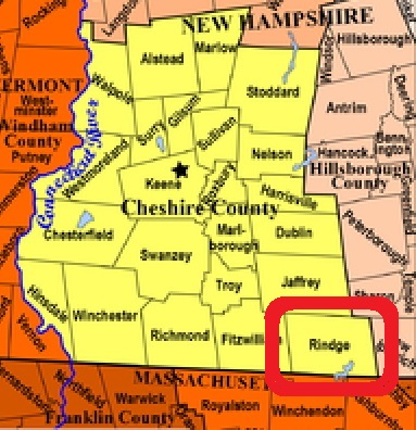
| To see a map of all sites click here. |
| R04-008 Cathedral of the Pines, 10 Hale Hill Road, (GPS: 42.7747600°N, 71.9883710°W), Note: The Cathedral of the Pines has a large area devoted to interred cremains complete with small flush markers. Since there are no interred bodies, some would say it is not a cemetery. Source: Webmaster 2017 MAP |
| R04-001 Hillside, Goddard Rd. off Main St. USGS Winchendon Quadrangle, E74498, N473675, Zone 18 (42° 44' 45.93"N, 72° 0' 24.87"W), (GPS: 42.7461540°N, 72.0064250°W), Source: Rindge Hist. Soc. 1989, updated: Sandy Sliviak 2016 MAP |
| R04-002 Meeting House, Payson Hill Rd. at Main St. USGS Monadnock Mountain Quadrangle, E74470, N473720, Zone 18 (42° 45' 0.82"N, 72° 0' 36.46"W), (GPS: 42.7503130°N, 72.0097100°W), Source: Rindge Hist. Soc. 1989, updated: Sandy Sliviak 2016 MAP |
| ------ Old Cemetery, See: Meeting House, R04-002 |
| R04-003 Peirce, Abel Road, USGS Monadnock Mountain Quadrangle, E73928, N473739, Zone 18 (42° 45' 13"N, 72° 4' 34"W), Source: Rindge Hist. Soc. 1989 MAP |
| R04-004 Rand, off Rand Road, USGS Winchendon Quadrangle, E74097, N473536, Zone 18 (42° 44' 5"N, 72° 3' 23"W), Source: Rindge Hist. Soc. 1989 MAP |
| R04-005 Robbins, Robbins Road, USGS Winchendon Quadrangle, E74038, N473444, Zone 18 (42° 43' 36"N, 72° 3' 50"W), Source: Rindge Hist. Soc. 1989 MAP |
| R04-006 Wilder, Hampshire Rd. off East Main St. USGS Ashburnham Quadrangle, E25926, N473586, Zone 19 (42° 44' 21.95"N, 71° 56' 27.52"W), (GPS: 42.7395480°N, 71.9405250°W), Note: This is a family cemetery in what is now a cow pasture at the Hampshire Country School. Location previously listed as Timbertop Road. Source: Rindge Hist. Soc. 1989, updated: Sandy Sliviak 2016 MAP |
| R04-007 Wood, off Route 119, USGS Ashburnham Quadrangle, E25560, N473674, Zone 19 (42° 44' 46"N, 71° 59' 10"W), Source: Rindge Hist. Soc. 1989 MAP |
Listings Copyright © 1998-2024 New Hampshire Old Graveyard Association.
All rights reserved.
Send mail to webmaster@nhoga.org with questions or comments about this web site.