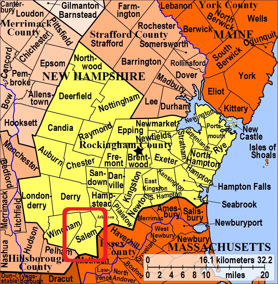


| Burial Sites in Salem, New Hampshire |
|---|
| To see a map of all sites click here. |
| S01-001 Mausoleum (Eternal Light Mausoleum), 21 Pond Street, USGS Lawrence Quadrangle, E32018, N473482, Zone 19 (42° 44' 48"N, 71° 11' 49"W), Source: Salem Historical Society, 1998 MAP |
| S01-003 Mt.Pleasant Cemetery, East Broadway, USGS Haverhill Quadrangle, E31804, N474493, Zone 19 (42° 50' 14"N, 71° 13' 35"W), Source: Salem Hist. Soc. 1998 MAP |
| S01-002 North Cemetery, Atkinson Road, USGS Haverhill Quadrangle, E32083, N474442, Zone 19 (42° 49' 60"N, 71° 11' 32"W), Source: Salem Hist. Soc., 1998 MAP |
| ------ North Parish, See: Salem Center, S01-005 |
| S01-004 Pine Grove Cemetery, North Main St.(Rte. 97), USGS Haverhill Quadrangle, E32008, N473978, Zone 19 (42° 47' 28.95"N, 71° 11' 59.45"W), (GPS: 42.7914890°N, 71.1993990°W), Source: Salem Hist. Soc. 1998, Lat/Long updated from Mapquest 2017 MAP |
| S01-005 Salem Center, Main Street (Rte. 97), USGS Haverhill Quadrangle, E32003, N473949, Zone 19 (42° 47' 19.51"N, 71° 12' 1.32"W), (GPS: 42.7888200°N, 71.1998400°W), Source: Salem Hist. Soc. 1998. Lat/Long updated: Find-a-grave 2017 MAP |
| S01-006 Silver, Removed. This family graveyard had been to the rear of 11 Lawrence Road, USGS Salem Depot Quadrangle, (GPS: 42.7862480°N, 71.2032290°W), Source: Salem Hist. Soc. 1998 MAP |
| S01-007 Spear Hill, Brookdale Road, USGS Windham Quadrangle, E31443, N473855, Zone 19 (42° 46' 44"N, 71° 16' 7"W), Source: Salem Hist. Soc. 1998 MAP |
Listings Copyright © 1998-2024 New Hampshire Old Graveyard Association.
All rights reserved.
Send mail to webmaster@nhoga.org with questions or comments about this web site.
