| Burial Sites in South Hampton, New Hampshire |
|---|
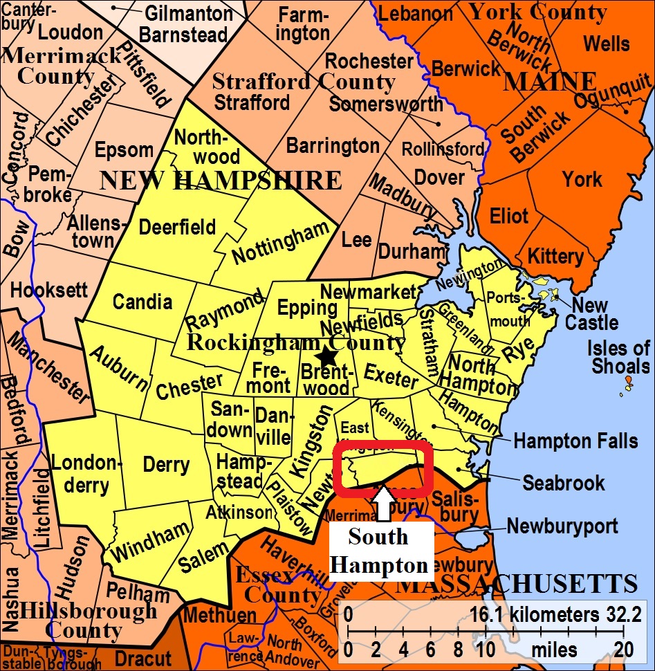
| To see a map of all sites click here. |
| S12-001 Center Cemetery, Jct. Hilldale Ave. and Jewell Ave. USGS Exeter Quadrangle, E33962, N474913, Zone 19 (42° 52' 48"N, 70° 57' 49"W), Source: Findagrave 2017 MAP |
| S12-003 Currierville, Hilldale Ave. USGS Exeter Quadrangle, E33620, N474876, Zone 19 (42° 52' 33"N, 71° 0' 20"W), Source: Sadie Embree 1978 MAP |
| ------ Evans, See: Titcomb and Evans Family Cem., S12-004 |
| ------ Mill Hill, See: Titcomb and Evans Family Cem., S12-004. Identification probable. |
| ------ New Cemetery, See: Center Cemetery, S12-001 |
| S12-002 Old Cemetery, Main Ave. (Rte. 107A); aka: Old South Hampton Cemetery, USGS Exeter Quadrangle, E33950, N474931, Zone 19 (42° 52' 53"N, 70° 57' 55"W), Source: Sadie Embree 1978 MAP |
| S12-004 Titcomb and Evans Family Cem., Locust Street, USGS Exeter Quadrangle, E34314, N475033, Zone 19 (42° 53' 29"N, 70° 55' 16"W), Source: Sadie Embree 1978 MAP |
Listings Copyright © 1998-2024 New Hampshire Old Graveyard Association.
All rights reserved.
Send mail to webmaster@nhoga.org with questions or comments about this web site.