| Burial Sites in Springfield, New Hampshire |
|---|
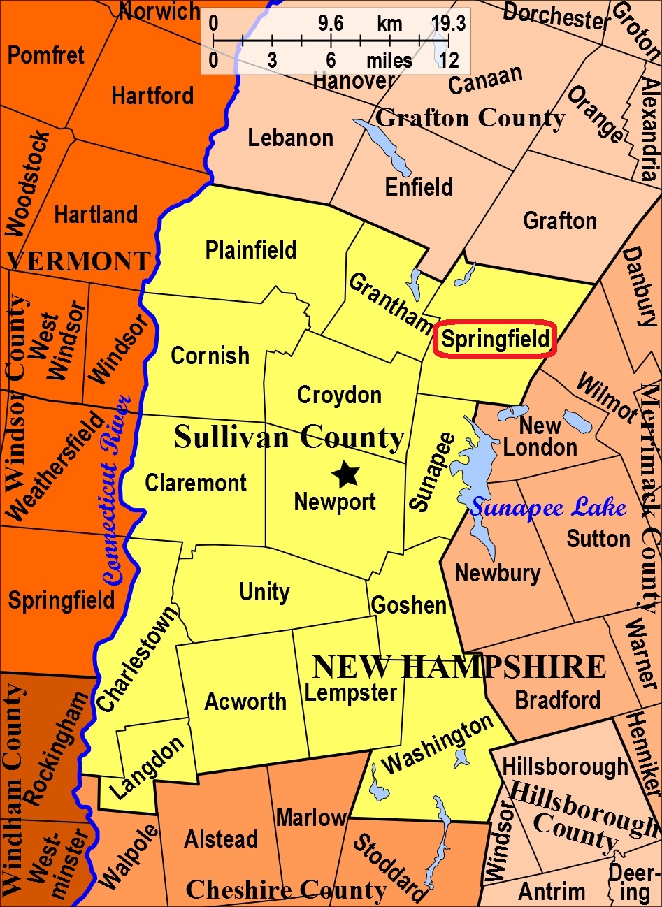
| To see a map of all sites click here. |
| S13-006 Davis, New London Road (Rte. 114), USGS Sunapee Quadrangle, E73933, N481576, Zone 18 (43° 27' 30"N, 72° 2' 30"W), Source: David Renney 1978 MAP |
| S13-003 Fowler, Fowlertown Rd. woods, USGS New London Quadrangle, E26026, N482013, Zone 19 (43° 29' 51"N, 71° 57' 55"W), This is in woods near the Wilmot town line. Source: David Renney 1978 MAP |
| S13-007 Graveyard, Star Lake Road, USGS Sunapee Quadrangle, E73817, N481491, Zone 18 (43° 27' 4"N, 72° 3' 23"W), Source: David Renney 1978 MAP |
| S13-005 Messer, Messer Hill Road, USGS Sunapee Quadrangle, E73925, N481483, Zone 18 (43° 27' 0"N, 72° 2' 36"W), Source: David Renney 1978 MAP |
| S13-004 Perley, Tarn Ln. near Dutchman Pond, woods, USGS Sunapee Quadrangle, E74075, N481500, Zone 18 (43° 27' 4"N, 72° 1' 29"W), Source: David Renney 1978 MAP |
| S13-001 Pleasant View North, near 4-Corners Road, USGS Sunapee Quadrangle, E73921, N482005, Zone 18 (43° 29' 49"N, 72° 2' 29"W), Source: David Renney 1978 MAP |
| S13-002 Pleasant View South, near 4-Corners Road, USGS Sunapee Quadrangle, E73912, N481990, Zone 18 (43° 29' 45"N, 72° 2' 33"W), Source: David Renney 1978 MAP |
| ------ Springfield Cemetery, See: Pleasant View North, S13-001. , and/or Pleasant View South, S13-002. |
Listings Copyright © 1998-2024 New Hampshire Old Graveyard Association.
All rights reserved.
Send mail to webmaster@nhoga.org with questions or comments about this web site.