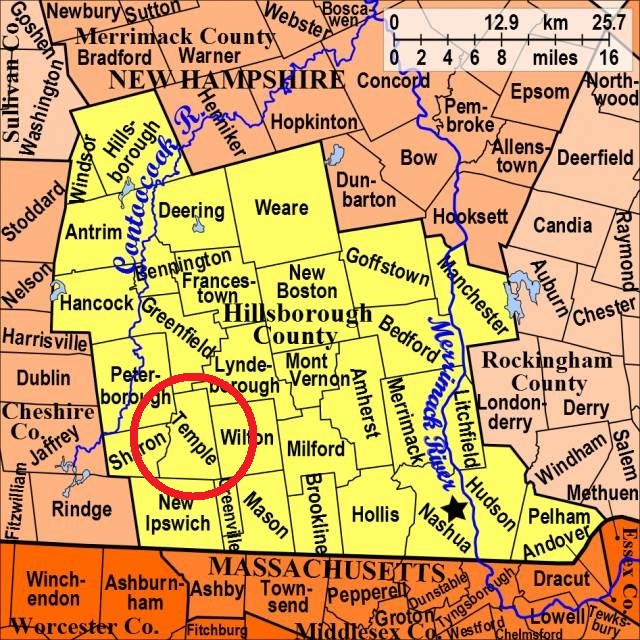
| Burial Sites in Temple, New Hampshire |
|---|
| Note: The sites with "red background" do not look correct on the Google maps corresponding to the lat/long coordinates for that cemetery. The problem may be either incorrect lat/long or changed street names. Please send any corrections to NHOGA Webmaster with corrected lat/longs in degrees/minutes/seconds or degrees + fractional degrees to 6 places. |
| To see a map of all sites click here. |
| T02-002 East Cemetery, General Miller Highway, USGS Greenville Quadrangle, E26812, N474405, Zone 19 (42° 48' 57"N, 71° 50' 10"W), Source: Thirza Russell 1985 MAP |
| T02-003 Miller, General Miller Highway, USGS Greenville Quadrangle, E26807, N474400, Zone 19 (42° 48' 55"N, 71° 50' 13"W), Source: Thirza Russell 1985 MAP |
| ------ New Temple Cemetery, See: Miller, T02-003 |
| T02-004 North Cemetery, Barry Orchards, USGS Greenville Quadrangle, E26813, N474909, Zone 19 (42° 51' 40"N, 71° 50' 17"W), Source: Thirza Russell 1985 MAP |
| T02-001 Old Burying Ground, Route 45, USGS Greenville Quadrangle, E26687, N474439, Zone 19 (42° 49' 7"N, 71° 51' 6"W), Source: Thirza Russell 1985 MAP |
| ------ Old Miller Cemetery, See: East Cemetery, T02-002 |
| ------ Village Cemetery, See: Old Burying Ground, T02-001 |
Listings Copyright © 1998-2024 New Hampshire Old Graveyard Association.
All rights reserved.
Send mail to webmaster@nhoga.org with questions or comments about this web site.