| Burial Sites in Walpole, New Hampshire |
|---|
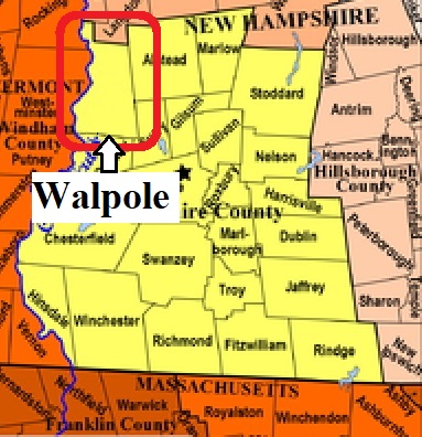
| To see a map of all sites click here. |
| W02-003 Carpenter Hill, off County Road, USGS Walpole Quadrangle, E71391, N476707, Zone 18 (43° 1' 41"N, 72° 22' 28"W), On the map this is called Crehore Cemetery Source: Guy Bemis 1979 MAP |
| ------ Crehore Cemetery, See: Carpenter Hill, W02-003 |
| W02-004 Drewsville, Common Rd which loops from Old Cheshire Turnpike on the west to Alstead Center Road, USGS Bellows Falls Quadrangle, E71221, N477796, Zone 18 (43° 7' 35.68"N, 72° 23' 28.45"W), (GPS: 43.1266900°N, 72.3907900°W), Source: Guy Bemis 1979, updated: Sandy Sliviak 2016 MAP |
| W02-005 St. Peters, Drewsville Road, USGS Walpole Quadrangle, E71021, N477750, Zone 18 (43° 7' 23"N, 72° 24' 57"W), Source: Guy Bemis 1979 MAP |
| W02-002 Village Cemetery, Main St. at N Road, USGS Walpole Quadrangle, E70940, N477350, Zone 18 (43° 5' 14.06"N, 72° 25' 38.74"W), (GPS: 43.0873170°N, 72.4269591°W), Source: Sandy Sliviak 2016, Updated: Find a Grave 2023 MAP |
| W02-001 Walpole Cemetery, Route 123, USGS Walpole Quadrangle, E70930, N477351, Zone 18 (43° 5' 14"N, 72° 25' 43"W), Find a Grave lists the old and new sections of this site as two cemeteries called simply Old Cemetery and New Cemetery. Source: Guy Bemis 1979 MAP |
Listings Copyright © 1998-2024 New Hampshire Old Graveyard Association.
All rights reserved.
Send mail to webmaster@nhoga.org with questions or comments about this web site.