| Burial Sites in Warren, New Hampshire |
|---|
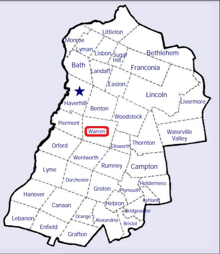
| To see a map of all sites click here. |
| W04-003 Clough, Route 25, USGS Warren Quadrangle, E26806, N486560, Zone 19 (43° 54' 32"N, 71° 53' 18"W), This is at the Fish Hatchery. Source: N.H. Hist. Soc. 1975 MAP |
| W04-002 East Warren, off Route 118, USGS Mount Kineo Quadrangle, E27125, N487051, Zone 19 (43° 57' 15"N, 71° 51' 3"W), Source: N.H. Hist. 1975 MAP |
| ------ Fish Hatchery, See: Clough, W04-003 |
| W04-004 Glencliff, Route 25, USGS Warren Quadrangle, E26807, N487407, Zone 19 (43° 59' 6"N, 71° 53' 31"W), Source: N.H. Hist. Soc. 1975 MAP |
| W04-005 Graveyard, off Studio Road, USGS Warren Quadrangle, E26845, N486742, Zone 19 (43° 55' 32"N, 71° 53' 4"W), This is a private site. Source: Town of Warren 1994 MAP |
| W04-001 Village Cemetery, Pine Hill Road, USGS Warren Quadrangle, E26792, N486826, Zone 19 (43° 55' 58"N, 71° 53' 29"W), Source: N.H. Hist. Soc. 1975 MAP |
Listings Copyright © 1998-2024 New Hampshire Old Graveyard Association.
All rights reserved.
Send mail to webmaster@nhoga.org with questions or comments about this web site.