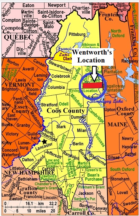
| Burial Sites in Wentworth Location, New Hampshire |
|---|
| To see a map of all sites click here. |
| ------ Bean, See: West Family Cemetery, W10-002 |
| W10-001 Village Cemetery, Route 16, USGS Umbagog Lake North Quadrangle, E33787, N496938, Zone 19 (44° 51' 40.87"N, 71° 3' 7.49"W), (GPS: 44.8614350°N, 71.0515900°W), Town name is Wentworth Location. Source: Coos County Highway Map 1970 MAP |
| W10-002 West Family Cemetery, Route 16 (Dam Road) (Map location approximate), USGS Umbagog Lake North Quadrangle, E33717, N496771, Zone 19 (44° 50' 46.21"N, 71° 3' 37.44"W), (GPS: 44.8462050°N, 71.0599220°W), Source: Coos County Highway Map 1970 MAP |
Listings Copyright © 1998-2024 New Hampshire Old Graveyard Association.
All rights reserved.
Send mail to webmaster@nhoga.org with questions or comments about this web site.