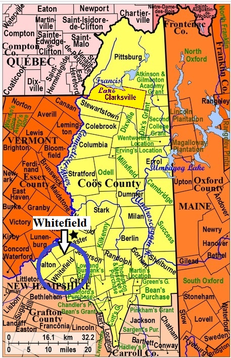


| Burial Sites in Whitefield, New Hampshire |
|---|
| Note: The sites with "red background" do not look correct on the Google maps corresponding to the lat/long coordinates for that cemetery. The problem may be either incorrect lat/long or changed street names. Please send any corrections to NHOGA Webmaster with corrected lat/longs in degrees/minutes/seconds or degrees + fractional degrees to 6 places. |
| To see a map of all sites click here. |
| W12-001 Burns, Route 116, USGS Bethlehem Quadrangle, E29028, N491476, Zone 19 (44° 21' 28"N, 71° 37' 54"W), Source: NHHS 1982 MAP |
| W12-002 East Whitefield, Bray Hill Road, USGS Lancaster Quadrangle, E29690, N491943, Zone 19 (44° 24' 6"N, 71° 33' 1"W), Source: NHHS 1982 MAP |
| W12-006 Harris, Kimball Road, USGS Bethlehem Quadrangle, E28968, N491218, Zone 19 (44° 20' 4"N, 71° 38' 17"W), The Harris/Howland site Source: map MAP |
| ------ Howland, See: Harris, W12-006 |
| W12-007 Ingerson, Knothole Road, USGS Bethlehem Quadrangle, E29861, N491883, Zone 19 (44° 23' 48"N, 71° 31' 43"W), This site was listed as J03-005 on the 1983 Merrill listing for Jefferson, but was later removed from that town for reasons now unknown. Knothole Road is entirely in Whitefield but the coordinates place this site just over the Jefferson line. It is not listed on Find a Grave in either town. Source: Helen Merrill 1983 MAP |
| W12-003 Park St. Cemetery, Park Street, USGS Bethlehem Quadrangle, E29261, N491644, Zone 19 (44° 22' 25"N, 71° 36' 11"W), Source: NHHS 1982 MAP |
| W12-004 Pine St. Cemetery, Pine Street, USGS Lancaster Quadrangle, E29141, N491713, Zone 19 (44° 22' 46"N, 71° 37' 6"W), Source: NHHS 1982 MAP |
| W12-005 St. Matthews, Elm Street, USGS Lancaster Quadrangle, E29151, N491739, Zone 19 (44° 22' 54"N, 71° 37' 2"W), Part in Dalton Source: NHHS 1982 MAP |
Listings Copyright © 1998-2024 New Hampshire Old Graveyard Association.
All rights reserved.
Send mail to webmaster@nhoga.org with questions or comments about this web site.
