| Burial Sites in Winchester, New Hampshire |
|---|
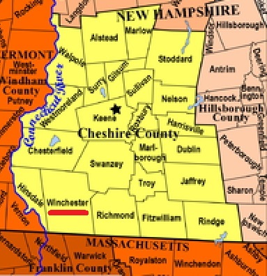
| To see a map of all sites click here. |
| W15-005 Ashuelot Cemetery, on Old Hinsdale Rd off Gunn Mountain Rd, (GPS: 42.7762690°N, 72.4248980°W), Source: Sandy Sliviak, 2016 MAP |
| W15-001 Evergreen, Route 119, USGS Winchester Quadrangle, E71500, N473832, Zone 18 (42° 46' 9"N, 72° 22' 20"W), Source: NHHS 1975 MAP |
| ------ Furnace Company Cemetery, See: Willis, W15-004 |
| ------ Hawkins, See: Ashuelot Cemetery, W15-005 |
| ------ Rixford Cemetery, See: Wheelock, W15-003 |
| W15-006 Robbins Burying Ground, North side of Old Swanzey Rd just West of Slones Mill Rd. (Exact location unknown), Slones Mill Road is not on Google maps. Family burying ground surrounded by a granite block fence and marked with sign. (Coordinates needed) Source: Find a Grave 2019 |
| W15-002 South Parish, South Parish Rd, USGS Northfield Quadrangle, E70900, N473450, Zone 18 (42° 44' 11"N, 72° 26' 49"W), Source: NHHS 1975 MAP |
| ------ Tufts, See: Ashuelot Cemetery, W15-005 |
| W15-003 Wheelock, Old Westport Road, USGS Winchester Quadrangle, E71494, N474468, Zone 18 (42° 49' 35.16"N, 72° 22' 13.82"W), (GPS: 42.8264881°N, 72.3700518°W), Source: NHHS 1975, updated by Sandy Sliviak, 2016 MAP |
| W15-004 Willis, Back Ashuelot Road, (GPS: 42.7748600°N, 72.4177800°W), This is a very small cemetery that requires hiking up a small hill. Path is marked with survey tape. Many broken & missing stones. Source: Sandy Sliviak 2016 MAP |
Listings Copyright © 1998-2024 New Hampshire Old Graveyard Association.
All rights reserved.
Send mail to webmaster@nhoga.org with questions or comments about this web site.