| Burial Sites in Andover, New Hampshire |
|---|
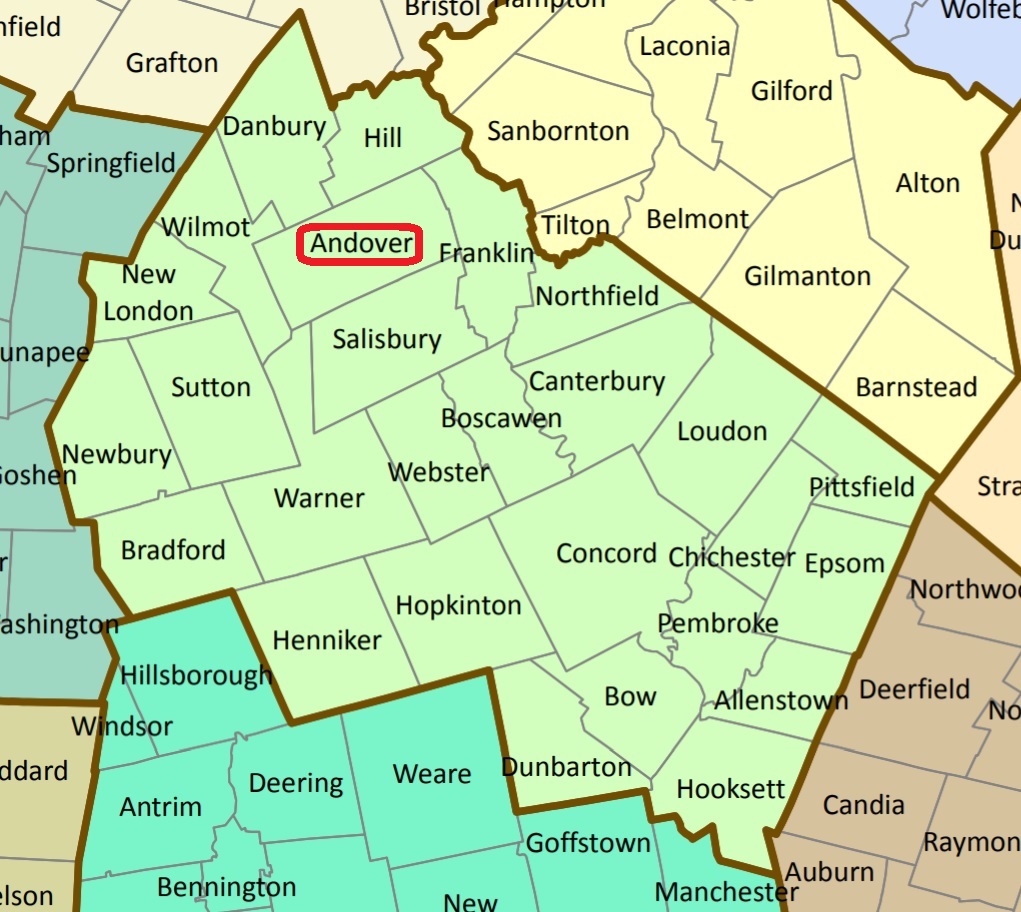
| To see a map of all sites click here. |
| A08-016 Batchelder, Old College Road, USGS Andover Quadrangle, E27498, N481574, Zone 19 (43° 27' 46"N, 71° 46' 53"W), Source: Patricia Cutter 1994 MAP |
| A08-002 Boston Hill, Putney Road, off of Boston Hill Road, USGS Andover Quadrangle, E27683, N481314, Zone 19 (43° 26' 23"N, 71° 45' 27"W), Source: Patricia Cutter 1994 MAP |
| A08-006 Church Cemetery, Route 11, (by Old North Church, East Andover.), USGS Franklin Quadrangle, E27772, N481535, Zone 19 (43° 27' 36"N, 71° 44' 51"W), Source: Patricia Cutter 1994 MAP |
| A08-020 Cilley, woods off Rte. 11, USGS Franklin Quadrangle, E27981, N481737, Zone 19 (43° 28' 44"N, 71° 43' 21"W), Source: Patricia Cutter 1994 MAP |
| A08-03A Cilley, on Morey Hill, USGS Andover Quadrangle, E26817, N481181, Zone 19 (43° 25' 31"N, 71° 51' 50"W), Source: Patricia Cutter 1994 MAP |
| A08-003 Durgin, Pancake Road off Route 11, USGS New London Quadrangle, E26690, N481177, Zone 19 (43° 25' 28"N, 71° 52' 46"W), Source: Patricia Cutter 1994 MAP |
| A08-018 Fellows, Chase Hill Rd. SE part of town near Salisbury Line, USGS Franklin Quadrangle, E27916, N481312, Zone 19 (43° 26' 25"N, 71° 43' 44"W), Source: Patricia Cutter 1994 MAP |
| A08-014 Flaghole, Flaghole Road at intersection of Humphrey Road, SE part of town on the Salisbury town line, USGS Franklin Quadrangle, E28102, N481308, Zone 19 (43° 26' 26"N, 71° 42' 21"W), Source: Patricia Cutter 1994, updated: USGS map 2020 MAP |
| A08-019 Fuller, Flaghole Rd. SE part of town near the Salisbury town line, USGS Franklin Quadrangle, E27996, N481274, Zone 19 (43° 26' 14"N, 71° 43' 8"W), Source: Patricia Cutter 1994 MAP |
| ------ Hobbs, See: Swett/Hobbs, A08-011 |
| A08-017 Indian, Chase Hill Rd. SE part of town near Salisbury town line. USGS Franklin Quadrangle, E27914, N481258, Zone 19 (43° 26' 8"N, 71° 43' 44"W), Source: Patricia Cutter 1994 MAP |
| ------ Jones, See: Rowe/Jones, A08-XXX |
| A08-004 Lakeside/Lakeview, Route 11, USGS Andover Quadrangle, E27740, N481434, Zone 19 (43° 27' 3"N, 71° 45' 4"W), Source: Patricia Cutter 1994 MAP |
| ------ Lakeview, See: Lakeside/Lakeview, A08-004 |
| A08-005 Marston Knoll, off Rte. 11 in East Andover, USGS Andover Quadrangle, E27731, N481547, Zone 19 (43° 27' 39"N, 71° 45' 10"W), Source: Patricia Cutter 1994 MAP |
| A08-001 Old Center, Route 4, USGS Andover Quadrangle, E27089, N481293, Zone 19 (43° 26' 10"N, 71° 49' 51"W), Source: Patricia Cutter 1994 MAP |
| A08-007 Philbrick, Old College Road, USGS Andover Quadrangle, E27532, N481445, Zone 19 (43° 27' 4"N, 71° 46' 36"W), Source: Patricia Cutter 1994 MAP |
| A08-013 Potter Place, Potter Place RR Station, USGS Andover Quadrangle, E26881, N481301, Zone 19 (43° 26' 10"N, 71° 51' 24"W), Note: Richard Potter gravesite Source: Patricia Cutter 1994 MAP |
| A08-015 Proctor, off Route 4, USGS Andover Quadrangle, E27110, N481282, Zone 19 (43° 26' 7"N, 71° 49' 42"W), Source: Patricia Cutter 1994 MAP |
| A08-009 Rollins, Flaghole Rd. SE part of town near the Salisbury town line, USGS Franklin Quadrangle, E28053, N481310, Zone 19 (43° 26' 26"N, 71° 42' 43"W), Source: Patricia Cutter 1994 MAP |
| ------ Rowe, See: Rowe/Jones, A08-XXX |
| A08-XXX Rowe/Jones, Flaghole Road opposite #674, E28104, N481308, Zone 19 (43° 26' 26"N, 71° 42' 20"W), This site was originally on the Salisbury listing as being in Andover (Rowe/Jones), but was not identified on the Andover list. Since identified. Source: Salisbury listing, updated: Amy Levesque MAP See: Find a Grave |
| A08-011 Swett/Hobbs, Elbow Pond Road, USGS Andover Quadrangle, E27329, N481457, Zone 19 (43° 27' 6"N, 71° 48' 7"W), Source: Patricia Cutter 1994 MAP |
| A08-012 Taunton Hill, Old College Road, USGS Andover Quadrangle, E27528, N481454, Zone 19 (43° 27' 7"N, 71° 46' 38"W), Source: Patricia Cutter 1994 MAP |
Listings Copyright © 1998-2024 New Hampshire Old Graveyard Association.
All rights reserved.
Send mail to webmaster@nhoga.org with questions or comments about this web site.