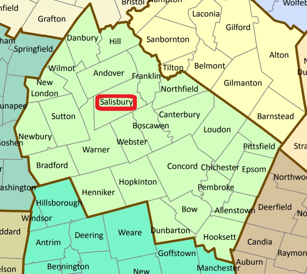


| Burial Sites in Salisbury, New Hampshire |
|---|
| Note: The sites with "red background" do not look correct on the Google maps corresponding to the lat/long coordinates for that cemetery. The problem may be either incorrect lat/long or changed street names. Please send any corrections to NHOGA Webmaster with corrected lat/longs in degrees/minutes/seconds or degrees + fractional degrees to 6 places. |
| To see a map of all sites click here. |
| S02-001 Baker, Route 4, USGS Franklin Quadrangle, E27962, N480648, Zone 19 (43° 22' 51"N, 71° 43' 14"W), Source: Paul Shaw 1989 MAP |
| S02-002 Bog Road Cemetery, Bog Road, USGS Franklin Quadrangle, E27996, N480778, Zone 19 (43° 23' 33"N, 71° 43' 1"W), Source: Paul Shaw 1989 MAP |
| S02-003 Fellows, Route 127, USGS Webster Quadrangle, E27884, N480577, Zone 19 (43° 22' 27"N, 71° 43' 47"W), Source: Paul Shaw 1989 MAP |
| ------ Heights Cemetery, See: Salisbury Heights, S02-008 |
| S02-004 Maplewood, Route 4, USGS Franklin Quadrangle, E28070, N480593, Zone 19 (43° 22' 34"N, 71° 42' 25"W), Source: Paul Shaw 1989 MAP |
| ------ Mills, See: West Salisbury, S02-015 |
| S02-006 Oak Hill, Oak Hill Road, USGS Franklin Quadrangle, E27773, N480890, Zone 19 (43° 24' 7"N, 71° 44' 41"W), Source: Paul Shaw 1989 MAP |
| ------ Pingree, See: West Salisbury, S02-015 |
| ------ Quimby, See: Watson, S02-014 |
| ------ Rowe/Jones, See: Rowe/Jones, A08-XXX in Andover |
| S02-008 Salisbury Heights, Route 4, USGS Franklin Quadrangle, E27750, N480769, Zone 19 (43° 23' 28"N, 71° 44' 50"W), Source: Paul Shaw 1989 MAP |
| S02-009 Sawyer, moved to Rt.4, USGS Franklin Quadrangle, E28072, N480593, Zone 19 (43° 22' 34"N, 71° 42' 24"W), Source: Paul Shaw 1989 MAP |
| S02-010 Severens, Raccoon Hill, USGS Andover Quadrangle, E27628, N481061, Zone 19 (43° 25' 1"N, 71° 45' 48"W), Source: Paul Shaw 1989 MAP |
| ------ Shaw Hill, See: Severens, S02-010 |
| ------ Shaw's Corner, See: Shaw, F05-006 in Franklin. Previously reported from Salisbury. With town lines changed this is now in Franklin. |
| S02-012 Smith's Corner, moved to Rt. 4, USGS Warner Quadrangle, E27451, N480355, Zone 19 (43° 21' 10"N, 71° 46' 56"W), Source: Paul Shaw 1989 MAP |
| S02-013 South Road Cemetery, South Road, USGS Franklin Quadrangle, E27995, N480644, Zone 19 (43° 22' 50"N, 71° 42' 59"W), Source: Paul Shaw 1989 MAP |
| ------ Stevens, See: Sawyer, S02-009 |
| S02-014 Watson, near Warner, USGS Warner Quadrangle, E27046, N480162, Zone 19 (43° 20' 4"N, 71° 49' 53"W), Source: Paul Shaw 1989 MAP |
| S02-015 West Salisbury, Mill Road, USGS Andover Quadrangle, E27392, N480830, Zone 19 (43° 23' 44"N, 71° 47' 30"W), Source: Paul Shaw 1989 MAP |
| S02-016 Whitaker, Dunlap Road, USGS Andover Quadrangle, E27458, N480868, Zone 19 (43° 23' 57"N, 71° 47' 1"W), Source: Paul Shaw 1989 MAP |
Listings Copyright © 1998-2024 New Hampshire Old Graveyard Association.
All rights reserved.
Send mail to webmaster@nhoga.org with questions or comments about this web site.
