| Burial Sites in Bridgewater, New Hampshire |
|---|
| Note: The sites with "red background" do not look correct on the Google maps corresponding to the lat/long coordinates for that cemetery. The problem may be either incorrect lat/long or changed street names. Please send any corrections to NHOGA Webmaster with corrected lat/longs in degrees/minutes/seconds or degrees + fractional degrees to 6 places. |
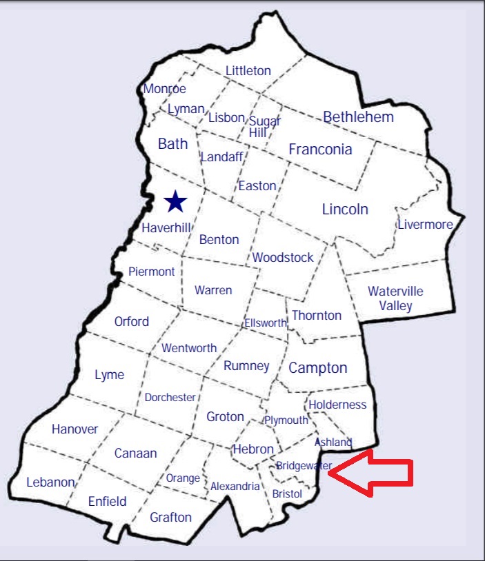
| To see a map of all sites click here. |
| B17-007 Abel, Abel Road, USGS Ashland Quadrangle, E28490, N483437, Zone 19 (43° 37' 59"N, 71° 39' 59"W), Source: Norton Bagley 1988 MAP |
| ------ Bridgewater Hill, See: Old Home Cemetery/Bridgewater Hill/Mountainside, B17-003 |
| ------ Cross, See: Webster/Cross, B17-004 |
| B17-010 Dicey, bulldozed, (Location unknown), (Coordinates needed) Source: Unknown. |
| B17-011 Emerson, Berry Hill Road, USGS Ashland Quadrangle, E28055, N483950, Zone 19 (43° 40' 41"N, 71° 43' 21"W), Source: Norton Bagley 1988 MAP |
| B17-005 Fields, off River Road, USGS Ashland Quadrangle, E28651, N484049, Zone 19 (43° 41' 19"N, 71° 38' 56"W), Source: Norton Bagley 1988 MAP |
| B17-009 Harran, off Woodman Brook, USGS Ashland Quadrangle, E28382, N483774, Zone 19 (43° 39' 47"N, 71° 40' 52"W), Source: Norton Bagley 1988 MAP |
| B17-006 Heath/Tobyne, River Road, USGS Ashland Quadrangle, E28555, N483431, Zone 19 (43° 37' 58"N, 71° 39' 30"W), Source: Norton Bagley 1988 MAP |
| B17-008 McCutchen, Hammond Hill Road, USGS Ashland Quadrangle, E28469, N483776, Zone 19 (43° 39' 49"N, 71° 40' 13"W), Source: Norton Bagley 1988 MAP |
| B17-002 Mitchell, Texas Hill Road, USGS Ashland Quadrangle, E28374, N484242, Zone 19 (43° 42' 19"N, 71° 41' 2"W), Source: Norton Bagley 1988 MAP |
| ------ Mountainside, See: Old Home Cemetery/Bridgewater Hill/Mountainside, B17-003 |
| ------ Newfound Lake, See: Turnpike, B17-013 |
| B17-003 Old Home Cemetery/Bridgewater Hill/Mountainside, Bridgewater Hill Road, USGS Ashland Quadrangle, E28289, N483930, Zone 19 (43° 40' 37"N, 71° 41' 36"W), Source: Norton Bagley 1988 MAP |
| ------ Tobyne, See: Heath/Tobyne, B17-006 |
| B17-013 Turnpike, Route 3A (Mayhew Turnpike), USGS Ashland Quadrangle, E27874, N483809, Zone 19 (43° 39' 53"N, 71° 44' 39"W), Source: Norton Bagley 1988 MAP |
| B17-001 Union Cemetery, Bridgewater Hill Road on Plymouth town line, USGS Ashland Quadrangle, E28434, N484286, Zone 19 (43° 42' 34"N, 71° 40' 36"W), Note: Also listed in Plymouth, see: Union Cemetery in Plymouth, P10-010. Source: Norton Bagley 1988 MAP |
| B17-004 Webster/Cross, Route 104, USGS Ashland Quadrangle, E28609, N483860, Zone 19 (43° 40' 18"N, 71° 39' 12"W), Source: Norton Bagley 1988 MAP |
| B17-014 Whittemore, Whittemore Point Road, USGS Newfound Lake Quadrangle, E27809, N483675, Zone 19 (43° 39' 9"N, 71° 45' 6"W), Source: Norton Bagley 1988 MAP |
Listings Copyright © 1998-2024 New Hampshire Old Graveyard Association.
All rights reserved.
Send mail to webmaster@nhoga.org with questions or comments about this web site.