| Burial Sites in Plymouth, New Hampshire |
|---|
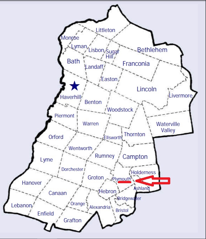
| To see a map of all sites click here. |
| P10-006 Bartlett, Bartlett Road, USGS Plymouth Quadrangle, E27928, N484784, Zone 19 (43° 45' 10"N, 71° 44' 29"W), Source: Norton Bagley 1993 MAP |
| ------ Blodget, See: Bartlett, P10-006 |
| P10-005 Cooksville, Cooksville Road, USGS Plymouth Quadrangle, E28257, N484983, Zone 19 (43° 46' 18"N, 71° 42' 5"W), Source: Norton Bagley 1993 MAP |
| P10-002 Dearborn, Reservoir Road, USGS Plymouth Quadrangle, E28092, N484857, Zone 19 (43° 45' 35"N, 71° 43' 17"W), Source: Norton Bagley 1993 MAP |
| ------ Ellis, See: Dearborn, P10-002 |
| P10-011 Glover Farm, off Texas Hill Road, USGS Ashland Quadrangle, E28210, N484443, Zone 19 (43° 43' 22"N, 71° 42' 19"W), Source: Norton Bagley 1993 MAP |
| P10-004 Hull, off Fairgrounds Road, USGS Plymouth Quadrangle, E28178, N485018, Zone 19 (43° 46' 28"N, 71° 42' 41"W), Source: Norton Bagley 1993 MAP |
| P10-XXX Jenness, no stones, (Location unknown), Site is on the lawn of the Robert Orr property on Hill Road. Markers are gone but remains of 3 Jenness burials may still be there. Per Norton Bagley 1993, (Coordinates needed) Source: Norton Bagley 1993 |
| P10-007 Lower Intervale, Daniel Webster Highway (Routes 3 and 25), USGS Ashland Quadrangle, E28465, N484532, Zone 19 (43° 43' 53.69"N, 71° 40' 25.98"W), (GPS: 43.7316503°N, 71.6734035°W), At the far corner of the parking lot of the Italian Farmhouse Restaurant Source: Norton Bagley 1993 updated Kristin Snow 2022 MAP |
| P10-009 Pike Hill, Pike Hill Road, USGS Ashland Quadrangle, E27871, N484339, Zone 19 (43° 42' 44.91"N, 71° 44' 48.34"W), (GPS: 43.7125432°N, 71.7462826°W), Source: Norton Bagley 1993, Lat/Long updated Ronald W. Collins 2017 MAP |
| P10-014 Pleasant Valley, Smith Bridge Road, USGS Plymouth Quadrangle, E27972, N485023, Zone 19 (43° 46' 27"N, 71° 44' 13"W), Source: Norton Bagley 1993 MAP |
| P10-015 Riverside, Fairgrounds Road, USGS Plymouth Quadrangle, E28342, N485000, Zone 19 (43° 46' 24"N, 71° 41' 28"W), Source: Norton Bagley 1993 MAP |
| P10-003 Seavey, off Texas Hill Road, USGS Ashland Quadrangle, E28316, N484357, Zone 19 (43° 42' 55"N, 71° 41' 30"W), Source: Norton Bagley 1993 MAP |
| P10-013 Soldier's Grave, Reservoir Road, USGS Plymouth Quadrangle, E28021, N484841, Zone 19 (43° 45' 29"N, 71° 43' 49"W), Source: Norton Bagley 1993 MAP |
| P10-012 Spencer, behind 706 Tenney Mtn. Highway (aka: Rte. 25), USGS Plymouth Quadrangle, E27882, N485000, Zone 19 (43° 46' 19"N, 71° 44' 53"W), Source: Norton Bagley 1993, Location corrected by David R. Brittelli - 2018 MAP |
| P10-001 Stearns, Texas Hill Road, USGS Ashland Quadrangle, E28144, N484545, Zone 19 (43° 43' 55"N, 71° 42' 49"W), Source: Norton Bagley 1993 MAP |
| P10-008 Turnpike, Route 3A, USGS Newfound Lake Quadrangle, E27834, N484728, Zone 19 (43° 44' 50"N, 71° 45' 11"W), Source: Norton Bagley 1993 MAP |
| P10-010 Union Cemetery, Bridgewater Hill Road, USGS Ashland Quadrangle, E28433, N484285, Zone 19 (43° 42' 33"N, 71° 40' 37"W), On the Bridgewater/Plymouth boundary. Also listed as B17-001 in Bridgewater Source: Norton Bagley 1993 MAP |
| P10-016 Unnamed, Wade Hill Road, USGS Ashland Quadrangle, E27854, N484172, Zone 19 (43° 41' 50.66"N, 71° 44' 53.45"W), (GPS: 43.6975000°N, 71.7477000°W), This site was originally reported as being in Plymouth but Wade Hill Road is entirely in Hebron. The GPS coordinates also place it in Hebron. Probably identical with H11-001 in Hebron although the coordinates do not match exactly Source: Morgan Reese 2018 MAP |
Listings Copyright © 1998-2024 New Hampshire Old Graveyard Association.
All rights reserved.
Send mail to webmaster@nhoga.org with questions or comments about this web site.