| Burial Sites in Hart's Location, New Hampshire |
|---|
| Note: The sites with "red background" do not look correct on the Google maps corresponding to the lat/long coordinates for that cemetery. The problem may be either incorrect lat/long or changed street names. Please send any corrections to NHOGA Webmaster with corrected lat/longs in degrees/minutes/seconds or degrees + fractional degrees to 6 places. |
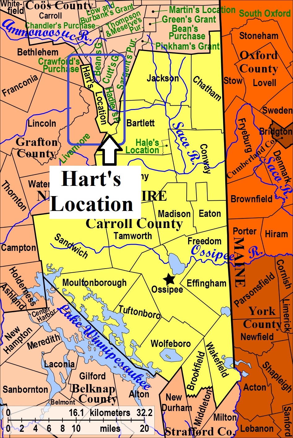
| To see a map of all sites click here. |
| H09-005 Barton, Route 302 (Crawford Notch Rd.), USGS Bartlett Quadrangle, E31151, N488759, Zone 19 (44° 7' 9"N, 71° 21' 20"W), Nancy Barton was found frozen from trying to go through notch on foot in winter. Source: Ida Pineo 1988 MAP |
| H09-006 Cobb, Route 302, USGS Bartlett Quadrangle, E31206, N488364, Zone 19 (44° 5' 2"N, 71° 20' 51"W), Registered as 5-004 in White Mt. National Forest records. It is unclear if this is the same site as Cobb Farm, H09-008. Source: Karl Roenke, WMNF MAP |
| ------ Cobb Farm Cemetery, See: Cobb Farm Cemetery, B03-010 in Bartlett |
| H09-002 Crawford, Route 302 (Crawford Notch Rd.), USGS Bartlett Quadrangle, E31140, N488786, Zone 19 (44° 7' 18"N, 71° 21' 26"W), This is the Crawford/Morey site. Source: Ida Pineo 1988 MAP |
| H09-007 Glidden Field Cemetery, Hart's Location; North side of 302, (GPS: 44.0815650°N, 71.3445700°W), This cemetery is listed as being in Bartlett on Find A Grave. Source: Find A Grave 2019 MAP |
| H09-004 Graves, obliterated, USGS Crawford Notch Quadrangle, E30762, N489710, Zone 19 (44° 12' 13"N, 71° 24' 28"W), Bellboy Dick Graves died from a fall on Mt. Willard. His burial place was marked by a wooden cross, later covered by an avalanche. Source: Ida Pineo 1988 MAP |
| H09-003 Kingman, off Route 302 (Crawford Notch Rd.), USGS Crawford Notch Quadrangle, E30783, N489479, Zone 19 (44° 10' 59"N, 71° 24' 15"W), C. Kingman was a brakeman who fell from a box car in 1884. Marker is near the RR tracks. Source: Ida Pineo 1988 MAP |
| H09-001 McIver, Route 302 (Crawford Notch Rd.), USGS Bartlett Quadrangle, E31169, N488424, Zone 19 (44° 5' 21"N, 71° 21' 8"W), The McIver couple died from an epidemic while working on railroad construction in 1867. Source: Ida Pineo 1988 MAP |
| ------ Morey, See: Crawford, H09-002 |
| ------ Moulton, See: Cobb, H09-006 |
| ------ Parker-Cobb, See: Glidden Field Cemetery, H09-007 |
| ------ Sawyer's River, See: Glidden Field Cemetery, H09-007 |
Listings Copyright © 1998-2024 New Hampshire Old Graveyard Association.
All rights reserved.
Send mail to webmaster@nhoga.org with questions or comments about this web site.