Note from Webmaster: 11/22/2016
Bartlett's Cemeteries were not included in the data base as of 2016. Unless otherwise noted, the source of all data on this page is: Bartlett Cemetery List as of 11/22/2016
| Burial Sites in Bartlett, New Hampshire |
|---|
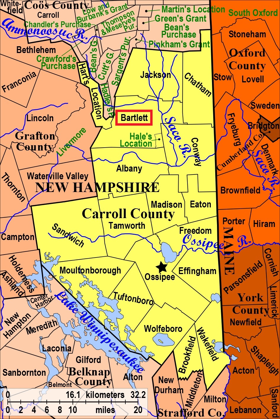
| To see a map of all sites click here. |
| ------ Bartlett Town Cemetery, See: Glen Cemetery, B03-003 |
| ------ Bartlett Village Cemetery, See: Garland Ridge, B03-002 |
| B03-010 Cobb Farm Cemetery, North side of 302, USGS Bartlett Quadrangle, E31417, N488305, Zone 19 (44° 4' 44.40"N, 71° 19' 14.97"W), (GPS: 44.0791000°N, 71.3203000°W), This site was previously listed in Hart's Location but the GPS coordinates combined with the fact that it is north of the river show that it is in Bartlett Source: Unknown MAP |
| ------ Dinsmore, See: Dinsmore, C19-010 in Conway |
| B03-001 Doctor's Cemetery, The, River St. and Cobb Farm Road, (GPS: 44.0844820°N, 71.2864270°W), Directions: Take River St. north from 302 and turn west onto Cobb Farm Road. Near this interesection, on the north side, is the Mt. Langdon trailhead. Park and walk a few yards up the trail to the fenced gravesite for Dr. Eudy. Source: Bartlett Cemetery List 2016 MAP |
| B03-011 Dundee Cemetery, Dundee Road. USGS Jackson Quadrangle, E32907, N488807, Zone 19 (44° 7' 40.06"N, 71° 8' 11.40"W), (GPS: 44.1278530°N, 71.1360520°W), Directions: Take Dundee Road north from 16A for 2 mi. Cemetery is on a lane off the east side of the road, next to a white cape. This cemetery is partially in Bartlett and partially in Jackson. Identical with Dundee Cemetery, J01-003 in Jackson. Source: Wendell Lees 1991, Updated: Bartlett Cemetery List (as Nov. 2016) MAP |
| B03-002 Garland Ridge, North side of 302, 2 mi east of Bartlett, (GPS: 44.0819320°N, 71.2456490°W), Directions: Take 302 east out from the center of Bartlett about 2 miles. The large cemetery is easily visible on the north side, before the railroad crossing. Source: Bartlett Cemetery List 2016 MAP |
| B03-003 Glen Cemetery, North side of 302, 0.75 mi west of Glen, (GPS: 44.1062630°N, 71.1924130°W), Directions: From the intersection of 16 in Glen, take 302 west for 0.75 mi. The large cemetery is easily visible on the north side. Source: Bartlett Cemetery List 2016 MAP |
| ------ Glidden Field Cemetery, See: Glidden Field Cemetery, H09-007 in Hart's Location |
| B03-004 Hill Cemetery, West side of West Side Road, 2 mi east of 302, (GPS: 44.0987500°N, 71.1745100°W), Directions: From 302, take West Side Road northeast for almost exactly 2 mi. On the inside of a curve to the south, there is an old driveway with the remnants of a structure next to it. There is also a small cellar hole across the road, but few safe places to park. Walk south along the old driveway, which stays up on the ridge as the road drops down. The cemetery is a few hundred yards away, surrounded by granite posts. Source: Bartlett Cemetery List 2016 MAP |
| B03-005 Intervale Cemetery, West side of 16A, 0.5 mi. north of its lower intersection with 16 in Intervale, (GPS: 44.0851340°N, 71.1405850°W), Directions: From 16 in Intervale, turn onto 16A and drive north for 0.5 mi. The large cemetery is easily visible on the west side. Source: Bartlett Cemetery List 2016 MAP |
| ------ Moulton Cemetery, See: Cobb, H09-006 in Hart's Location |
| ------ Nute's Hill, See: Stillings-Towle Cemetery, B03-009 |
| B03-006 Old Catholic Cemetery, Yates Farm Road, (GPS: 44.0856300°N, 71.2773700°W), Directions: Take River St. north from 302 and turn east onto Yates Farm Road. Follow the road ~0.4mi (past the last house and halfway into a meadow). Head due north into the woods ~0.1mi. There are a few stones standing and many grave depressions, but GPS will be necessary for location. Private property -- obtain permission from the Garlands at the last house. Source: Bartlett Cemetery List 2016 MAP |
| ------ Parker-Cobb Cemetery, See: Glidden Field Cemetery, H09-007 in Hart's Location |
| B03-007 Rogers Cemetery, Yates Farm Road, (GPS: 44.0856300°N, 71.2773700°W), Directions: Take River St. north from 302 and turn east onto Yates Farm Road. Follow the road ~0.7mi (past the last house, through a meadow, and almost to the second meadow). The cemetery is just inside the woods to the north. Private property -- obtain permission from the Garlands at the last house. Source: Bartlett Cemetery List 2016 MAP |
| B03-008 Saint Joseph's Cemetery, South side of 302, 1.5 mi east of Bartlett, (GPS: 44.0801040°N, 71.2539480°W), Directions: Take 302 east out from the center of Bartlett about 1.5 mi. The large cemetery is easily visible on the south side. Source: Bartlett Cemetery List 2016 MAP |
| ------ Sawyer's River Cemetery, See: Glidden Field Cemetery, H09-007 in Hart's Location |
| B03-009 Stillings-Towle Cemetery, North side 302 just west of Bartlett, (GPS: 44.0763630°N, 71.2931880°W), Directions: From the center of Bartlett, drive west past the post office, over the railroad tracks and ~0.2mi further. The cemetery is to the north in the side yard of the garage, surrounded by granite walls and trees. Source: Bartlett Cemetery List 2016 MAP |
Listings Copyright © 1998-2024 New Hampshire Old Graveyard Association.
All rights reserved.
Send mail to webmaster@nhoga.org with questions or comments about this web site.