| Burial Sites in Hebron, New Hampshire |
|---|
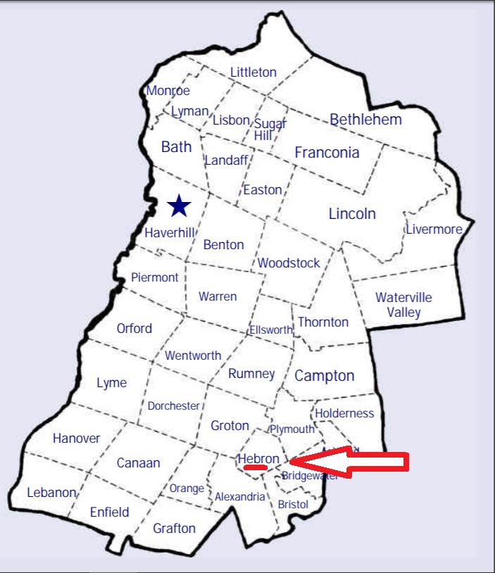
| To see a map of all sites click here. |
| ------ East Hebron, See: Youngman, H11-003 |
| H11-001 Graveyard, on Wade Hill Road, USGS Ashland Quadrangle, E27843, N484216, Zone 19 (43° 42' 5"N, 71° 44' 59"W), Source: On the 15' map Holderness MAP |
| H11-002 Hebron Village, Church Lane behind Union Congregational Church, USGS Newfound Lake Quadrangle, E27386, N484157, Zone 19 (43° 41' 40.72"N, 71° 48' 22.05"W), (GPS: 43.6947160°N, 71.8056810°W), Source: Norton Bagley 1988, updated: Sue Hunt 2018 MAP |
| ------ Hughes, See: Youngman, H11-003 |
| H11-004 Pratt, Groton Road, USGS Newfound Lake Quadrangle, E27203, N484185, Zone 19 (43° 41' 47.78"N, 71° 49' 44.13"W), (GPS: 43.6966710°N, 71.8284490°W), Source: Norton Bagley 1988, updated: Find A Grave 2016, Topo map 2020 MAP |
| H11-006 Unnamed, Wade Hill Road, USGS Ashland Quadrangle, E27854, N484172, Zone 19 (43° 41' 50.66"N, 71° 44' 53.45"W), (GPS: 43.6975000°N, 71.7477000°W), This site was originally reported as being in Plymouth but Wade Hill Road is entirely in Hebron. The GPS coordinates also place it in Hebron. Probably identical with H11-001 although the coordinates do not match exactly. Also listed as P10-016 in Plymouth Source: Morgan Reese 2018 MAP |
| H11-005 Wade Hill, Wade Hill Road, USGS Ashland Quadrangle, E27864, N484167, Zone 19 (43° 41' 49"N, 71° 44' 49"W), Source: Norton Bagley 1988 MAP |
| ------ West Hebron, See: Pratt, H11-004 |
| H11-003 Youngman, Route 3A, USGS Newfound Lake Quadrangle, E27695, N484197, Zone 19 (43° 41' 57.04"N, 71° 46' 4.77"W), (GPS: 43.6992111°N, 71.7674750°W), Source: Norton Bagley 1988, updated: Ronald W. Collins, 2017 MAP |
Listings Copyright © 1998-2024 New Hampshire Old Graveyard Association.
All rights reserved.
Send mail to webmaster@nhoga.org with questions or comments about this web site.