| Burial Sites in Jackson, New Hampshire |
|---|
| Note: The sites with "red background" do not look correct on the Google maps corresponding to the lat/long coordinates for that cemetery. The problem may be either incorrect lat/long or changed street names. Please send any corrections to NHOGA Webmaster with corrected lat/longs in degrees/minutes/seconds or degrees + fractional degrees to 6 places. |
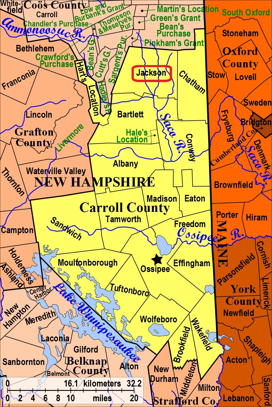
| To see a map of all sites click here. |
| J01-003 Dundee Cemetery, Dundee Road. USGS Jackson Quadrangle, E32907, N488807, Zone 19 (44° 7' 40.06"N, 71° 8' 11.40"W), (GPS: 44.1278530°N, 71.1360520°W), Directions: Take Dundee Road north from 16A for 2 mi. Cemetery is on a lane off the east side of the road, next to a white cape. This cemetery is partially in Jackson and partially in Bartlett. Identical with Dundee Cemetery, B03-011 in Bartlett. Source: Wendell Lees 1991, Updated: Bartlett Cemetery List (as Nov. 2016) MAP |
| J01-004 Fieldstone, Dundee Road, USGS Jackson Quadrangle, E32594, N489263, Zone 19 (44° 10' 5"N, 71° 10' 38"W), Source: Wendell Lees 1991 MAP |
| ------ Gray, See: Wiggin, J01-002 |
| J01-001 Jackson Cemetery, off Route 16, USGS Jackson Quadrangle, E32494, N489049, Zone 19 (44° 8' 55"N, 71° 11' 20"W), Source: Wendell Lees 1991 MAP |
| J01-002 Wiggin, Carter Notch Road, USGS Jackson Quadrangle, E32449, N489507, Zone 19 (44° 11' 23"N, 71° 11' 46"W), Source: Wendell Lees 1991 MAP |
Listings Copyright © 1998-2024 New Hampshire Old Graveyard Association.
All rights reserved.
Send mail to webmaster@nhoga.org with questions or comments about this web site.