| Burial Sites in Washington, New Hampshire |
|---|
| Note: The sites with "red background" do not look correct on the Google maps corresponding to the lat/long coordinates for that cemetery. The problem may be either incorrect lat/long or changed street names. Please send any corrections to NHOGA Webmaster with corrected lat/longs in degrees/minutes/seconds or degrees + fractional degrees to 6 places. |
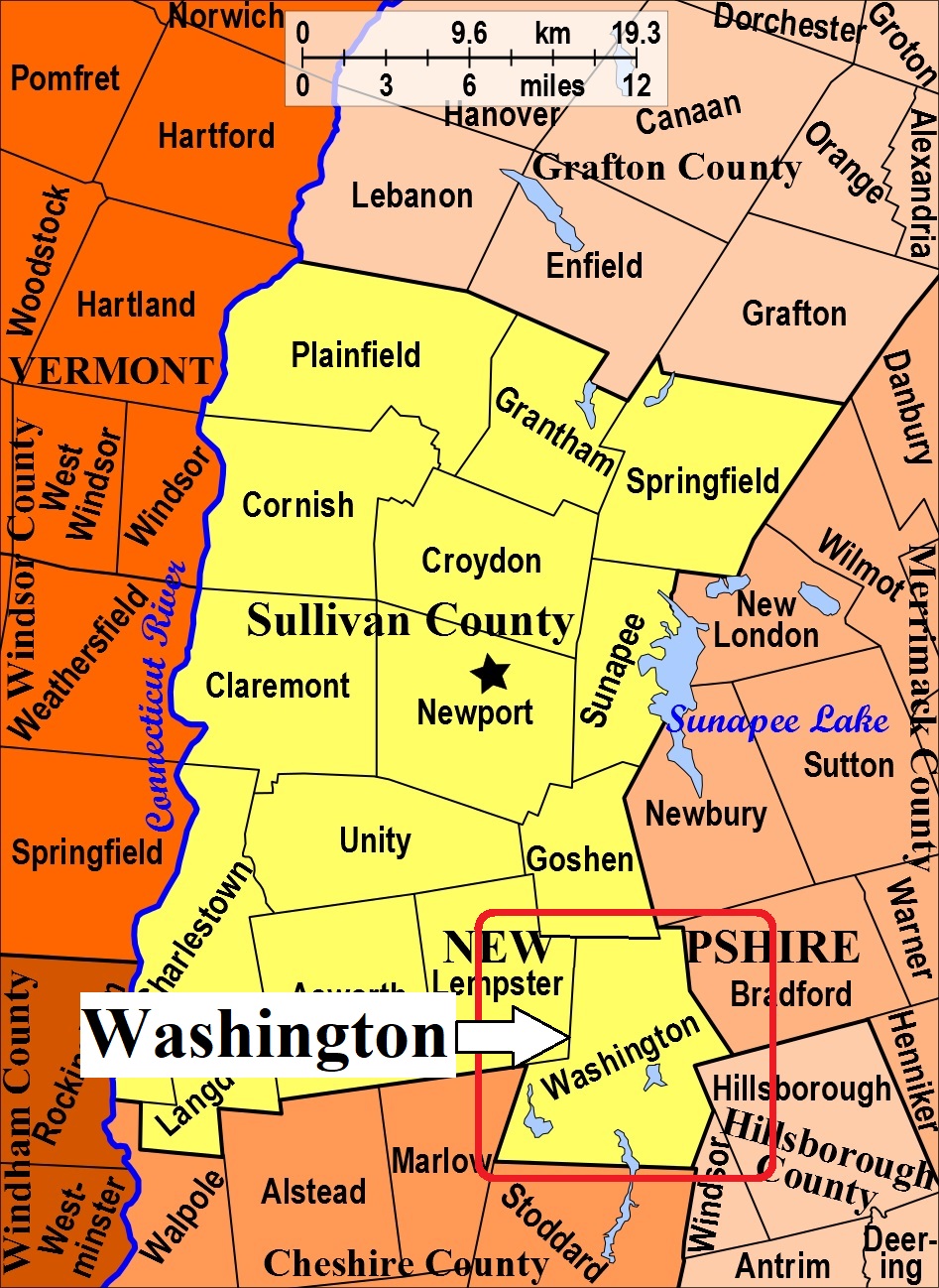
| To see a map of all sites click here. |
| W05-003 Advent Cemetery, King Sreet, USGS Lovewell Mountain Quadrangle, E73365, N478160, Zone 18 (43° 9' 11"N, 72° 7' 35"W), This is on the Monadnock-Sunapee road or trail. Source: Elizabeth Sawyer 1988 MAP |
| W05-004 Church Cemetery/East Washington Cemetery, behind church at the intersection of E. Washington Rd. & Bradford Springs Road, USGS Lovewell Mountain Quadrangle, E74232, N478620, Zone 18 (43° 11' 29.93"N, 72° 1' 4.58"W), (GPS: 43.1917100°N, 72.0175200°W), Source: Elizabeth Sawyer 1988, updated: Sandy Sliviak - 2018 MAP |
| ------ East Washington Cemetery, See: Church Cemetery/East Washington Cemetery, W05-004 |
| W05-007 Graveyard, off King Street, USGS Lovewell Mountain Quadrangle, E73358, N477958, Zone 18 (43° 8' 5"N, 72° 7' 41"W), The exact location had not been determined 1988. Source: Elizabeth Sawyer 1988 MAP |
| W05-009 Graveyard, off Half Moon, USGS Lovewell Mountain Quadrangle, E73833, N479072, Zone 18 (43° 14' 1"N, 72° 3' 54"W), Source: Elizabeth Sawyer 1988 MAP |
| W05-006 Lovewell Mountain, NW slope Mtn. USGS Lovewell Mountain Quadrangle, E73844, N478772, Zone 18 (43° 12' 24"N, 72° 3' 54"W), The exact location had not been determined 1988. Source: Elizabeth Sawyer 1988 MAP |
| W05-005 McNeil, Millen Pond Road, USGS Lovewell Mountain Quadrangle, E73513, N478479, Zone 18 (43° 10' 52"N, 72° 6' 25"W), Remains were removed to New Cemetery, but headstones remain. Source: Elizabeth Sawyer 1988 MAP |
| W05-002 New Cemetery, east end of Faxon Hill Rd. off Rte. 31, USGS Lovewell Mountain Quadrangle, E73554, N478418, Zone 18 (43° 10' 32.24"N, 72° 6' 7.67"W), (GPS: 43.1757300°N, 72.1017000°W), Source: Elizabeth Sawyer 1988, updated: Sandy Sliviak - 2018 MAP |
| W05-001 Old Cemetery, east end of Faxon Hill Rd. off Rte. 31, USGS Lovewell Mountain Quadrangle, E73565, N478421, Zone 18 (43° 10' 33.09"N, 72° 6' 2.76"W), (GPS: 43.1759720°N, 72.1002960°W), Source: Elizabeth Sawyer 1988, updated: Sandy Sliviak - 2018 MAP |
| ------ Spaulding, See: Spaulding, L07-003 in Lempster. This site was included Elizabeth Sawyer's list as being in Washington and was previously identified as W05-008. Sandy Sliviak reports that the site is actually across the town line in Lempster. |
Listings Copyright © 1998-2024 New Hampshire Old Graveyard Association.
All rights reserved.
Send mail to webmaster@nhoga.org with questions or comments about this web site.